Builder
Engine
Solutions
Pricing
Blog
Login
Sign up
©
OpenStreetMap
contributors, ©
CARTO
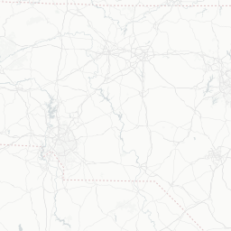
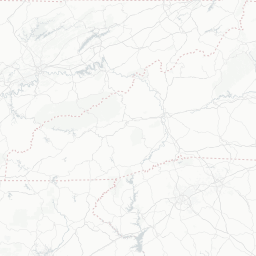
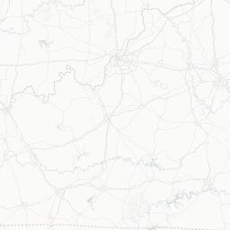
usa_congressional_districts 1
A work in progress -
Visible layers
1
2016 congressional districts
2014 congressional districts
+
-
CARTO
This visualization only works in modern browsers. Upgrade yours and enjoy.
Safari
Chrome
Firefox
Shane McCoy
Maps
Edit in CARTO
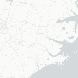
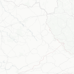
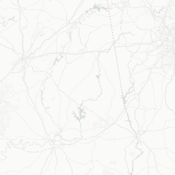
NC Congressional Districts
A work in progress -
over 8 years ago
318 mapviews
More info
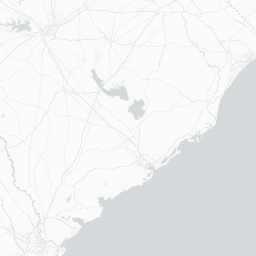
Datasets in use
table_2014_nc_districts_dataset
public
13 rows
over 8 years ago
table_2016_nc_districts_dataset
public
13 rows
over 8 years ago
More from Shane McCoy
Test Map for LFE
over 8 years ago
CEFS - C.O.G. / County Map
over 8 years ago
Infowindow Test Map
almost 9 years ago